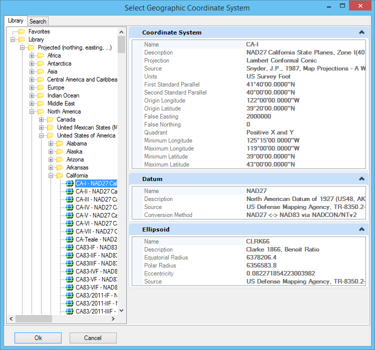
Select Geographic Coordinate System Dialog, Library Tab
Contains controls for selecting a geographic coordinate system (GCS) from a tree showing groups of geographic coordinate systems.
| Setting | Description |
|---|---|
| Favorites | Contains the geographic coordinate systems you or an administrator set aside for quick access. You can add and remove geographic coordinate systems from the Favorites folder. |
| Library | Categorizes geographic coordinate systems into two groups: Geographic (which uses latitude and longitude coordinates) and Projected. The GCSs are further divided into subgroups by geography. The properties of the selected GCS are displayed as read-only in the right pane. |